Sunday, February 7, 2016

LIGHT SNOWFALL FOR BOTH MONDAY AND TUESDAY

The general theme of this update is to fine tune the details of the snowfall for the next 36-48 hours.


In short, the weather for Monday and Tuesday will be characterized by intermittent light snow and cloudy skies. Two storm systems will brush the area with light snow in a span of two days, with the heavier amounts east of NYC. The total snowfall idea shown here combines both storms. Areas over eastern Long Island towards the Twin Forks stand the best chance of seeing "surprise" amounts, but again, this snowfall will encompass a two day period.

The long duration of the storms, combined with the generally light amounts will make for a relatively low impact to commuters through mid-week.

Weather Underground


Conditions dry out for Wednesday. The next big weather story around here will be a brutal arctic air mass, which will arrive for Valentines' Day weekend.  Temps for Saturday night/Sunday morning could be a few degrees colder than what is shown above; readings may be near 0 north and west of NYC for early Sunday morning.


Monday, February 1, 2016

HEAVY RAIN ON TAP FOR WEDNESDAY AND WEDNESDAY NIGHT…


February is off to a torrid start. Highs were well-above where they were forecasted to be from last week on Monday. 

Intellicast: Actual high for La Guardia Airport 2/1/16


Temps will be cooler on Tuesday with highs in the 40s, but these readings will still be about 10 degrees above normal for this time of year.

A heavy rainfall is in store for the region on Wednesday. Expect rain to move in by late morning and continue through around 10pm before tapering off. Once again, conditions will be quite mild as warm, moist air is lifted vigorously up the eastern seaboard . Thunderstorms are a possibility during the rainfall on Wednesday and Wednesday night! 


Tropical Tidbits

The rain will go a long way towards wiping out the remaining snow cover from the monstrous blizzard. 

ABC7: Snow depth at Central Park from 1/23-1/28/16


Conditions dry out for Thursday. Temps will gradually return to normal levels by the weekend.


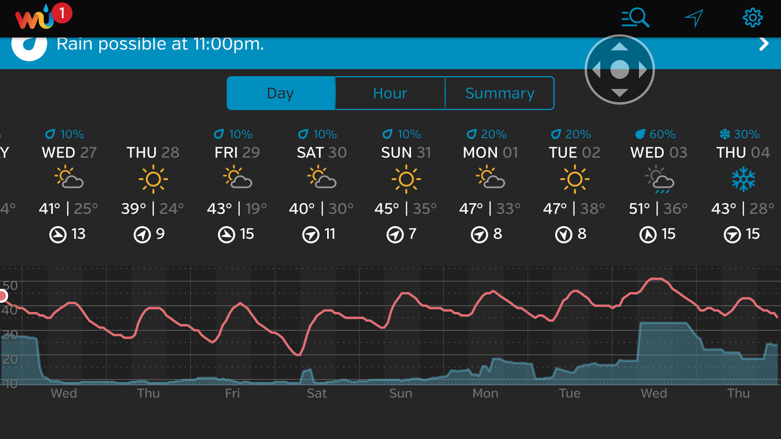
Weather Underground

Our next shot at a storm will come around Monday night into Tuesday, but it’s still too early to tell what the impacts (if any) will be.

Tuesday, January 26, 2016

FEBRUARY STARTS WITH TRANSIENT WARMTH

NOAA NWS New York on Facebook and Twitter
1. After light rain and snow tonight, skies clear for Wednesday. Winds will be a bit elevated Wednesday, which will make it feel chillier than today. Winds drop off tomorrow night, with ideal cooling conditions expected (light winds over a deep snow pack).

2. Quiet  and relatively warm conditions for the end of the week into the weekend. Coastal storm talked about as a possible threat this week from last Thursday's post will be shunted out to sea. Still, a few innocuous snow showers  or flurries could develop during the day Friday.

3. A few showers could cross the region for Monday. Otherwise, continued dry into next week, with above-normal temps.

4. A return to colder weather is in the offing for late week next week. Cold, stormy February in the making, despite the warm start.


Weather Underground 


5. A BIG thank you to all those who liked, shared and clicked for information pertaining to the Great January Blizzard Of 2016! A record number of views took place last week for this blog, highest since the blog's beginning in 2012!

Friday, January 22, 2016

DANGEROUS WINTER STORM POISED TO STRIKE THE TRI-STATE AREA

FINAL THOUGHTS

The northern edge of the storm (or fringes of the storm) are always tough to forecast. Over the last 24 hours, there has been a discernible trend northward in the handing of the extent of the heaviest snows. This has resulted in a drastic uptick in forecasted amounts by NOAA, especially for NYC and Long Island.


The combination of the coastal flooding and the higher than expected snowfall impacts to our region may make this storm the worst winter storm we’ve seen in quite some time. This is impressive considering all the prolific snow-makers which have affected the region since the late 1990s.

Snow should build in before daybreak (faster than expected) and become heavy at times by mid-morning from south to north.

In any one place, snow in the 12-18” area could last for 12-18 hours. Mixing will be minimal, even way out on the Island.  There is a real danger that snow amounts exceed the 18” plateau, but this will have to be addressed during the storm.  The best candidates for 18”+ amounts lie along the south shore of NYC, Long Island and especially over much of the state of New Jersey.

Winds will be as high as 60mph out on the Island and across coastal NYC.  Power outages are a possibility due to the heavy, wet nature of the snow…

Stay tuned!

Thursday, January 21, 2016

MAJOR WINTER STORM HIGHLIGHTS THE WEEKEND WEATHER

1. Much like last year's blizzard on 1/25/15, NYC will be on the fringes. Snow develops in the morning Saturday in the NYC metro area/Long Island and then struggles to creep north during the day. Eventually, snow spreads to all areas of the Tri-State area ( only as far up as areas shaded in blue). Potential for blizzard criteria is high for Long Island and NYC Saturday afternoon and evening when the heaviest snows fall.  Storm departs late Saturday night all areas.

The updated idea is on the left, the older outlook is on the right......


2. Moderate coastal flooding during Saturday evening, with locally major coastal flooding possible on the Jersey shore for the same time period.

3. Quiet for Sunday and most of next week. Cold front crosses mid-week, with light rain (Monday night) and snow showers (Tuesday night).

4. Turning cold for late week next week. Another storm could threaten the eastern seaboard next weekend, but too early for specifics.


5. Significant warmth develops towards the beginning of February.