But first,
Friday and Saturday are fair, but temps are knocked back to where they should be for this time of the year. It'll be very chilly on Friday, which will make it feel like it's in the 40s; actual temps will be closer to 50.
Another benign cold front will push through early next week. Dry conditions will prevail, but temps will take a hit later Monday and into Tuesday.
Overall, the upper level winds will continue to usher disturbances and reinforcing cool shots through as we progress through the week.
 |
| Intellicast |
 |
| Intellicast |
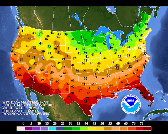
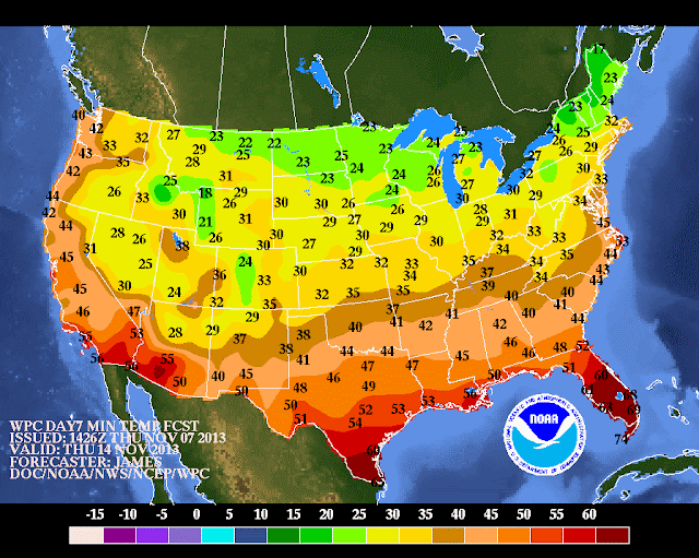
Once the dry cold front passes through Monday night, the stage will be set for a very remarkable cold shot for mid-November, as temps are likely to plummet from Wednesday through Friday into next week. Readings DURING THE DAYTIME may not surpass 40 degrees, with a strong northwest wind.
 |
| NOAA HIGHS Wednesday |
 |
| NOAA LOWS Wednesday night/Thurs |
 |
| NOAA Highs Thursday |
The details surrounding the evolution of a potential coastal storm are still in doubt for Wednesday of next week, but the ingredients are there for a significant rain-maker on the coast, with heavy inland snows on its northwest flank.
The last two years alone should be good enough evidence that snow can and will happen in late fall around these parts.
Stay tuned
