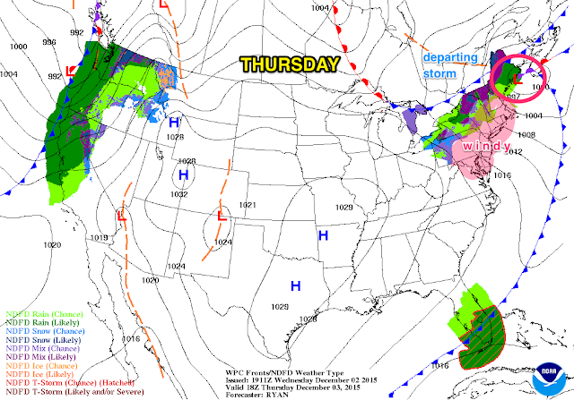
1. After Wednesday’s rain, skies remain cloudy for a good part of Thursday before clearing late Thursday afternoon and night. Departing low pressure will leave strong gusty winds in its wake from mid-morning Thursday through much of Thursday night. Temps initially will be in the 50s during the day, but then start to fall rapidly into the 30s at night. A chilly night is on tap for Thursday night, with gusty winds.
 |
| WPC.noaa.gov |
2. Winds relax on Friday as high pressure takes control. Fair weather persists for the weekend into early next week. Temps will be seasonable, with highs in the upper 40s to low 50s.
 |
| 7online.com/weather |
3. Low pressure will take shape early next week off the South Atlantic coast. Track of the slow-moving storm is uncertain; potential is there for a soaking rainfall accompanied by strong winds for Tuesday afternoon into Wednesday. Conversely, aforementioned strong high situated to our north may block the storm’s progress, keeping the rain to our south. Bears watching.
4. No sign of any widespread wintry weather (cold and/or snow) in the long range through mid-month.