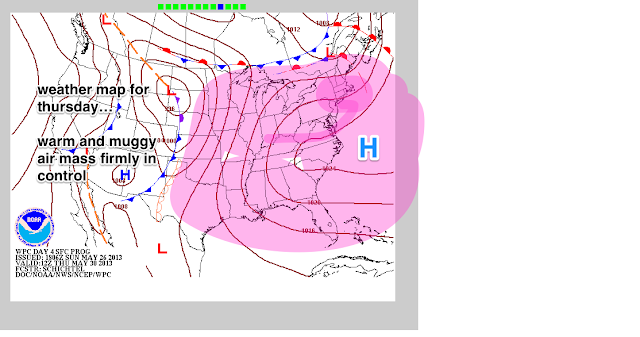
NOAA's official outlook for this Sunday is very close to the original idea, but does not include the coastal sections as of yet for the strongest storms
Nevertheless, widespread storms will make their way through the region LATE Sunday afternoon and night, and linger into much of Monday afternoon, as the front which will cool us down slows to a crawl.
A flash flooding threat will exist for western Sections of NYC and points to the north. To the east across Long Island, lesser rainfall amounts will take place through Monday night, but the idea of at least an inch of precip area-wide is a good bet.
Once we get past Monday, things look pretty dry. Temps will return to normal; the indication is that this will remain so through a good part of the week, with the heat staying well to our south.
 |
| Intellicast |
 |
| WPC Forecasted High Temps for June 7 |


